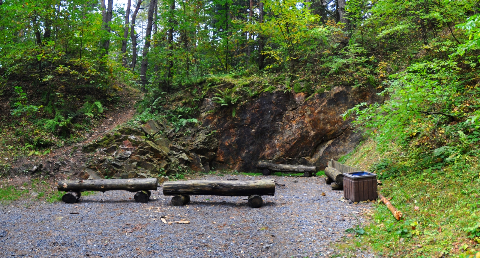
The northern slope of Góra Hałasa (394 metres above sea level), which belongs to the Dyminy Range, is made up of Cambrian and Ordovician sandstones and mudstones. In this location there is the documentation site “Outcrop at the foot of Góra Hałasa”, which protects a fragment of the wall of a former quarry created as a result of the extraction of Ordovician quartz sandstone. These rocks were exploited in the inter-war period and after World War II, mainly for the production of paving stones, which were used, among others, for laying a fragment of Wojska Polskiego Street and Plac Defilad in Warsaw. The light grey sandstones visible in the outcrop are of marine origin, as evidenced by the few brachiopod and trilobite remains that have been described from the site. A vein of pale pink barite mineral filling the cracks cutting through the sandstones adds variety to the geological value of the outcrop. The outcrop is accessible via a yellow hiking trail and has tourist infrastructure in the form of an information board and a seats.