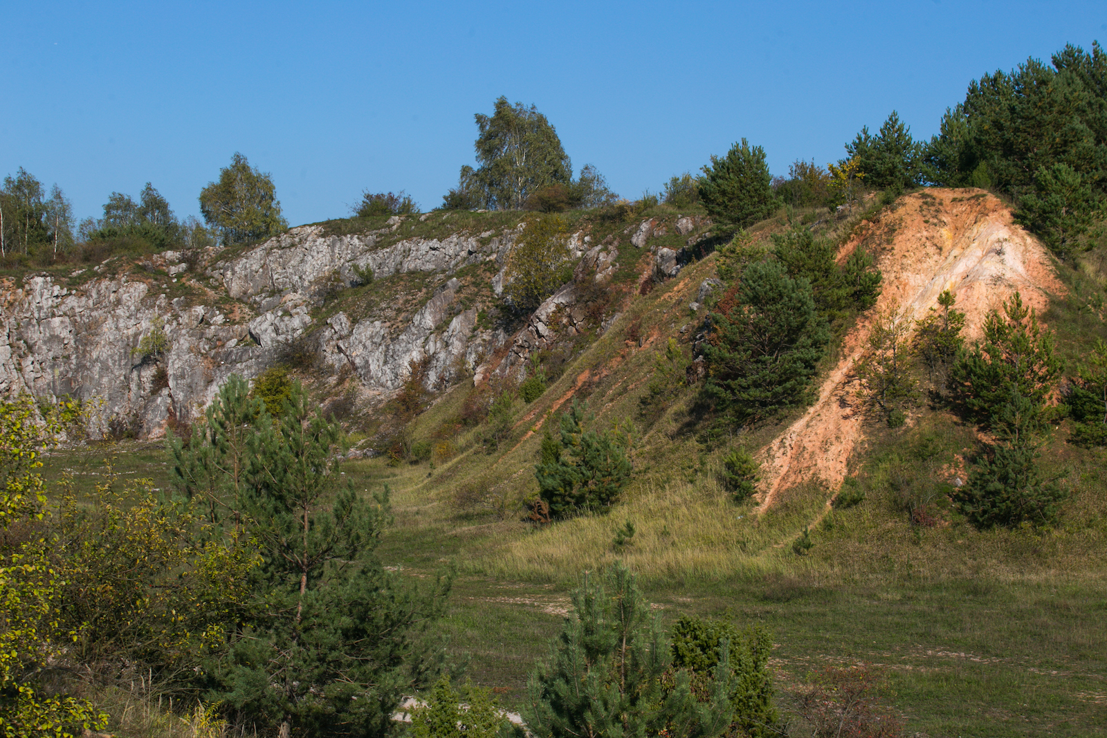
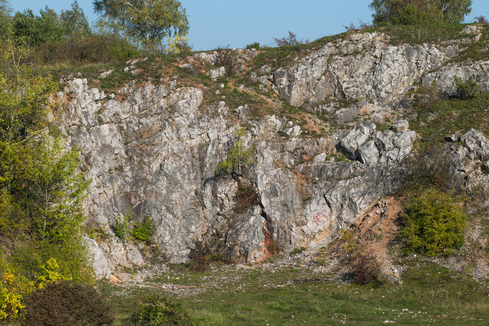
The massif of the Grabina mountain (308 m above sea level) hides many curiosities related to ore and limestone mining, made accessible via a geological-mining path. On the southern slope of Grabina Mala we can find traces of technical buildings and the depression of the “Barbara” shaft, which was explored to 118 metres at the beginning of the 20th century. It was the deepest lead ore mine operating in the Holy Cross Mountains. In the highest, western part of the hill, called Grabina Duża, there is a large excavation of the former Czarnów quarry, where the profile of Devonian limestone rocks was exposed. Fossils of sponges, corals, snails and brachiopods can be found there, a reminder of the tropical sea from 380 million years ago. Grabina Duża is also an excellent view point on the western part of the Swietokrzyskie Mountains and one of the most beautiful places to admire sunsets in the Holy Cross Mountains Geopark. The surroundings of Grabina are accessible by hiking and cycling trails.