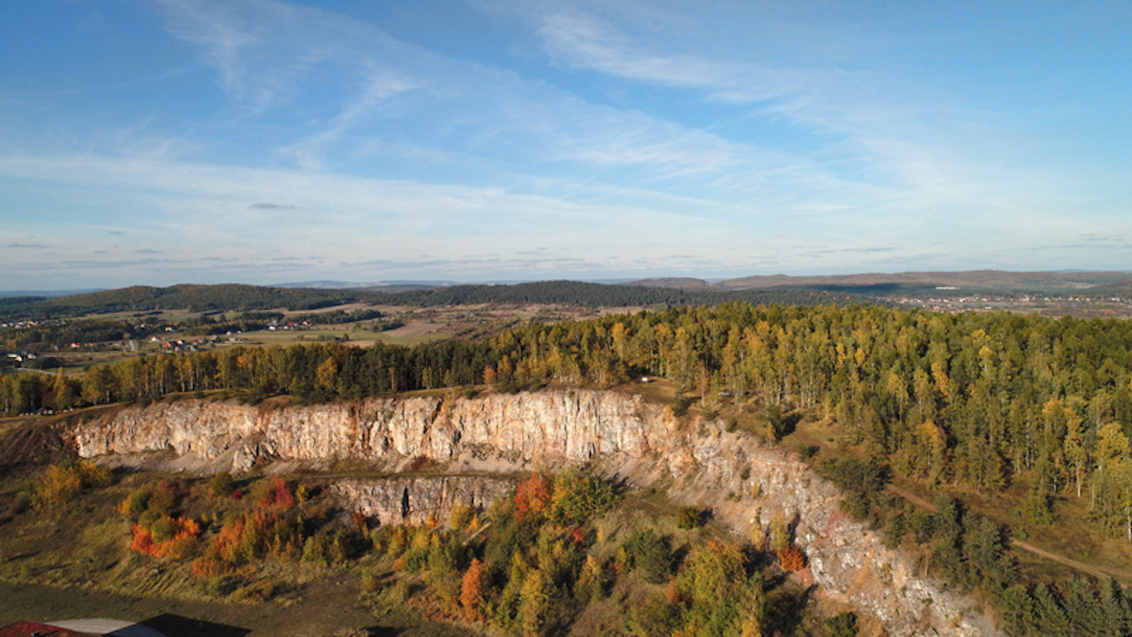
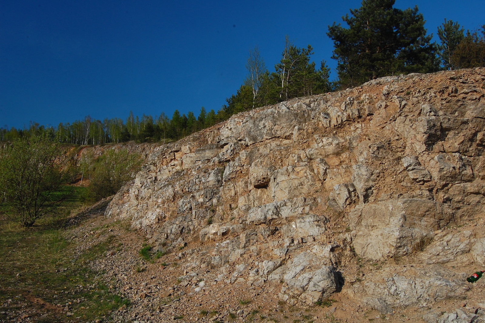
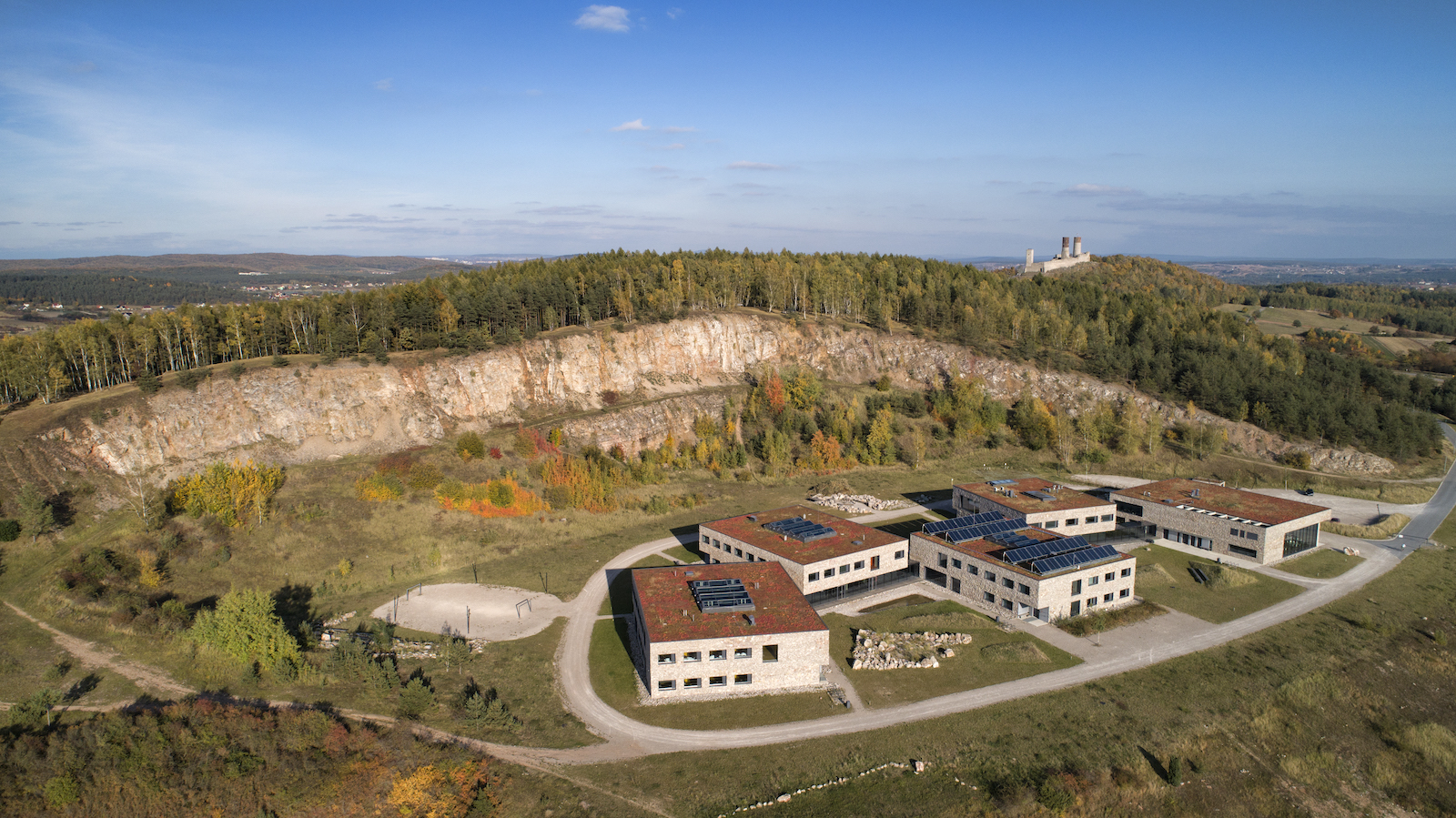
The “Góra Rzepka” nature reserve comprises the Rzepka and Beylina hills, cut in the south by a large excavation site of a former quarry where Devonian dolomites were mined until the 1970s. At the bottom of the excavation, an extensive didactic and conference facility – the European Centre for Geological Education – was built. Walking along marked footpaths within the reserve, we can see traces of the mining of dolomites, vein calcites (the so-called różanka zelejowska) and lead and silver ore. The walls of the former quarry show faults and cracks filled with veins of the multi-coloured mineral called calcite, as well as reddish-coloured sediments filling the karst voids. Fans of animated nature will certainly be interested in the curious plant species associated with thickets and xerothermic grasslands growing on the southern slopes of the hill. Above all, however, Rzepka is an excellent vantage point to enjoy the panorama of the southern part of the Geopark and the neighbouring areas. With favourable weather conditions and exceptionally good visibility from Rzepka, you can even see the Tatras!