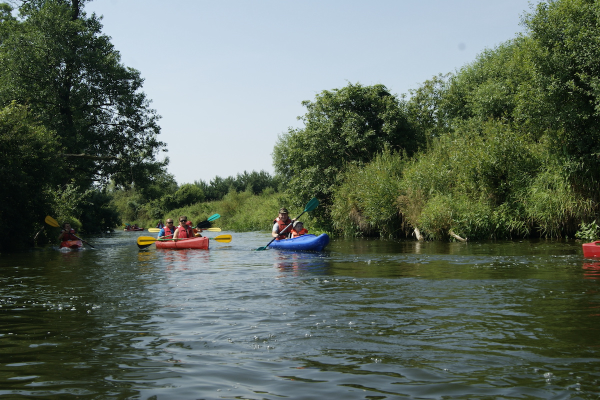
One of the most beautiful kayak routes in the Holy Cross Mountains region, leading through the valley of Czarna Nida river on the section Morawica to Przymiarki. Almost the entire valley of the Czarna Nida river with its floodplain, slopes and adjacent areas is protected as a Natura 2000 area. On the Czarna Nida river we not only travel in space, but also in… time. The river crosses areas made up of a variety of sedimentary rocks (limestones, dolomites, sandstones, siltstones, claystones and sands) representing three different eras in Earth’s history: the Palaeozoic, Mesozoic and Cenozoic. The most important value of this area, however, is the animated nature and landscape. In many sections, the riverbed has retained its natural, strongly meandering character, with numerous oxbow lakes, stagnant areas and floodplains, occupied by typical wetland communities: alder forests, riparian forests and oak-hornbeam forests. The slopes of the limestone hills bordering the valley are in turn home to xerothermic grasslands and scrub. The meadow habitats in the river valley are inhabited by numerous protected animal species, i.a. butterflies, beavers, otters as well as toads and newts. It is worth mentioning that the Czarna Nida Valley is an important ecological corridor of national rank. The best way to experience this extraordinary nature and landscape is by kayaking on the Morawica – Nida section, leading through the final, western section of the Czarna Nida Valley.