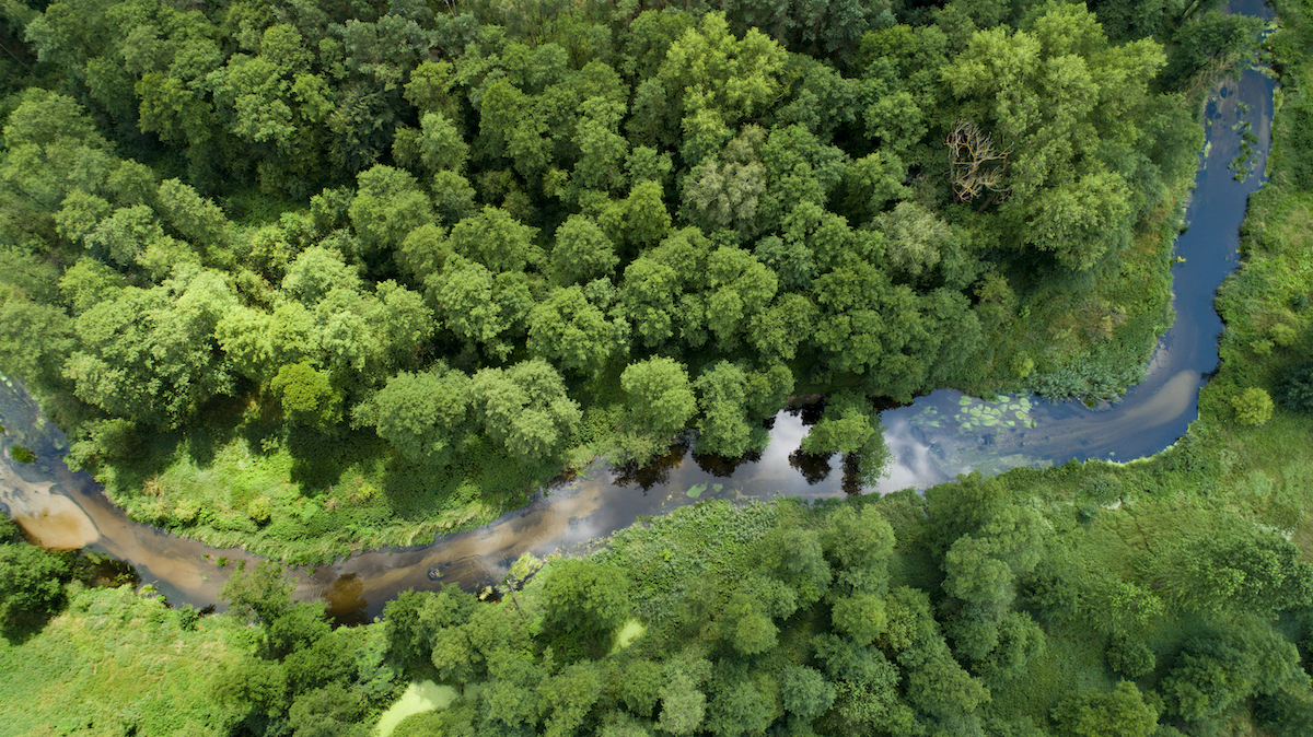
The picturesque valley of one of the busiest rivers of the Holy Cross Mountains region, as the Bobrza was called during its 19th century industrial heyday, is a perfect area for a cycling trip. In the northern part of the Holy Cross Mountains Geopark, in the area of Szczukowskie Górki, Pietraszki, Dobromyśl and Białogon, the valley runs between picturesque limestone hills covered by pine forests and coniferous forests with rich undergrowth. In the area of the Kielce district called Słowik, in turn, the Bobrza creates a picturesque gorge through the Posłowice and Zgórsko ranges made of sandstone. The Bobrza River, being the longest tributary of the Czarna Nida River, largely bears traces of regulation, but often also meanders to form picturesque oxbow lakes and floodplains. It is in such places that the most valuable fragments of riparian communities, meadows and peat bogs occur, accompanied by small fragments of swampy coniferous forests. The name Bobrza speaks for itself. When wandering or driving along the river valley, you will often see beaver lodges and natural floodplains created by these industrious animals damming the river. The most picturesque section of the valley running through the western peripheries of the city of Kielce can be explored on foot along the yellow trail around Kielce or by bike along the Green Velo trail. There are also daredevils who thread through this section in kayaks.